
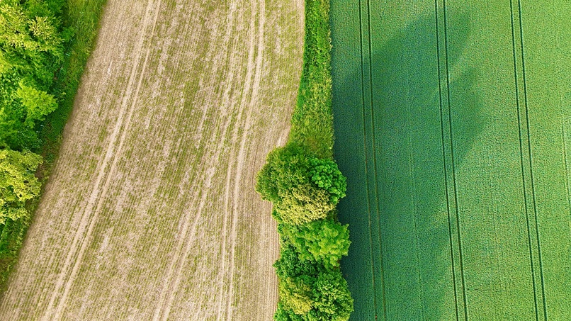
Norfolk has strong agricultural and rural businesses, and drones can be a practical tool for visual land overview, field access checks, estate presentation and rural marketing.
Our agricultural and rural land service is suitable for farms, estates, glamping sites, holiday parks and countryside businesses that need clear aerial content for documentation, promotion or general land overview.
While we are not positioning this as specialist crop analytics, we can provide valuable overhead visuals that help with presentation, planning and site awareness.
Where it helps most
This works well for farm diversification projects, estate marketing, land overview shots, access route checks and showcasing rural businesses across Norfolk.
A natural fit for the local area
From fields and estates to tourism-led rural venues, this service reflects the kind of landscape and work that is common across Norfolk.