

Professional drone operations planned around safety, permissions and location-specific checks.
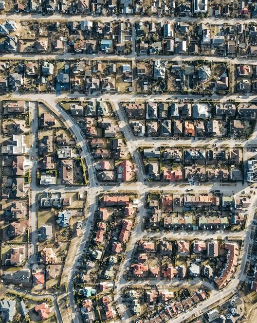
Aerial mapping-style coverage for land, development sites and recurring progress documentation.
Detailed aerial capture for sites, structures and projects that benefit from wider visual context.
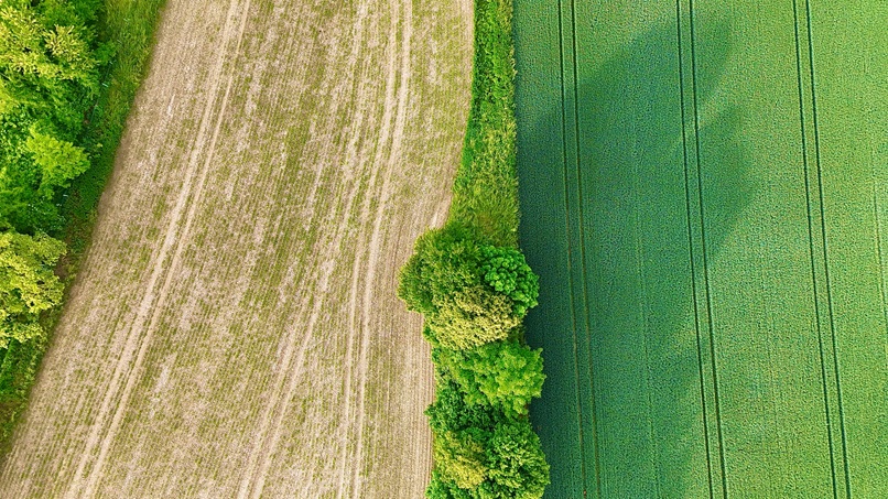
Drone support for farms, estates and rural businesses across Norfolk.